For about 10 years from 2012 to 2020, ViewRanger was the best mapping and navigation tool for the outdoors, free to download and use, with full OS mapping available at extra cost. It then merged with (= was taken over by) Outdoor Active, which greatly changed the user experience – losing some of the best functionality and adding a lot of features most users did not want or need.
Many of the routes on Goring Gap Cycling were hosted on ViewRanger. They were automatically moved to Outdoor Active when ViewRanger was discontinued, but may still be accessible. We have a plan to host them on the GGC site itself, which should make them easier to use, but it will take a while. Bear with us, and/or give us your views via the Contact page.
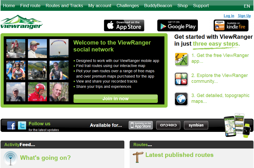 ViewRanger is a mapping and navigation app that can be downloaded for free from Google play or the Apple App Store. It can be used for planning, navigating, recording and sharing on or off-road routes and is particularly useful for cyclists and walkers.
Routes can be created from GPX files captured by a Garmin GPS (or similiar device), then edited, annotated and published. The majority of the routes on Goring Gap Cycling have been recorded in this way. This provides a very easy way to manage and present a catalogue of routes online. There is no commercial relationship whatever between Goring Gap Cycling and ViewRanger, it’s just that I think it’s a very useful product.
ViewRanger can be used totally for free with open source mapping, or you can buy premium maps such as Great Britain’s OS or France’s IGN.