C2C = Cycle to Cafe. Circular routes from Goring designed as much for a friendly cafe or two as for the lovely scenery and enjoyable riding.
Swyncombe and Ewelme
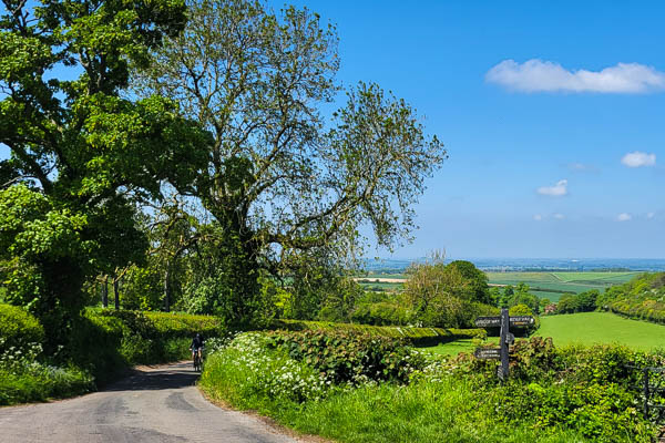
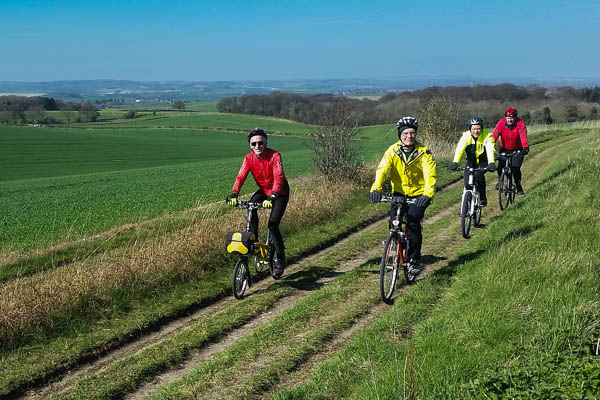
Classic Chiltern scenery, a historic village and a riverside cafe.
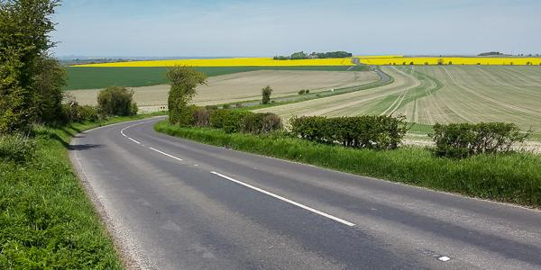
A steady climb through the Chilterns to Cookley Green, followed by a descent past the ancient church of St Botolph’s at Swyncombe, through the pretty village of Ewelme to the River Thames at Benson. The return to Goring is along the bottom of the Chiltern escarpment.
Highlights
Long descent down a dry valley from Swyncombe to Ewleme
Ewelme: A pretty village pond opposite the shop, the oldest school building in the UK still in use as a local authority school and the church of St Mary the Virgin and its cloistered almshouses, dating from the 15th century. Geoffrey Chaucer’s granddaughter Alice is buried in the church and Jerome K Jerome and his wife in the churchyard.
St Botolph’s at Swyncombe is 200 yd to the south of the route, at the top of the steepest part of the descent. It’s well-known locally for the display of snowdrops in the churchyard, usually during February, when the church provides afternoon teas at weekends.
Hazards
Crossing the busy A4074 at Benson and at Crowmarsh Gifford. The other two crossings of this road (east and north of Woodcote) have good visibility.
The descent from Swyncombe is on a narrow and twisty lane, with a couple of blind corners. A delightful alternative in dry weather is “Ladies Walk”, the bridleway that starts from St Botolph’s church and rejoins the road at the junction before Ewelme.
Short but steep descent and climb at Ipsden. The bend at the bottom of the dip often has loose gravel.
Hospitality
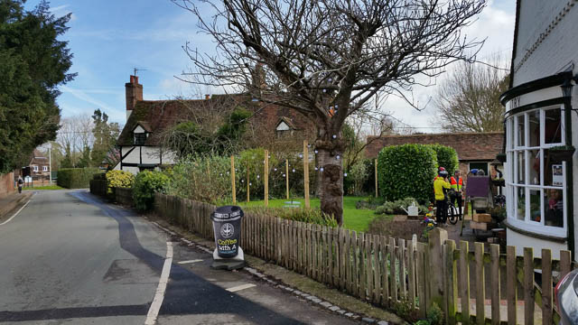
The Ewelme Village Store also sells tea, coffee and cafes and has a small seating area. The Shepherd’s Hut pub is at the other end of the village, half a mile further along the route.
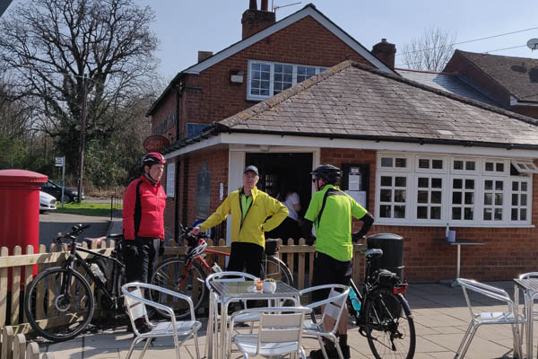
The Waterfront Café at Benson has a large outdoor terrace overlooking the river, and is very popular with cyclists.
Other shops and pubs in Woodcote, Benson. Post Office and Village Shop just a few yards off the route in Ipsden.
Hints
A good route for when there’s an easterly wind, which will be blowing down the long valley from Swyncombe to Ewelme and Benson.
An alternative return route avoiding the Ipsden Dip is to take the old main road south from Crowmarsh Gifford, starting opposite The Bell pub. Take care crossing the A4074 at the Mongewell roundabout then turning right onto the B4009 to Goring.
The Assendon Valley
Circular route from Goring to the Assendon Valley and Henley-on-Thames
The Assendon Valley is a classic Chilterns dry valley. This route runs down the length of it, past the Stonor deer park and enters Henley along the Fair Mile.
Highlights
A long descent through Pishill and Stonor. Dry valley scenery, home to many red kites. The market town of Henley-on-Thames, famous worldwide for its rowing regatta.
Hazards
Busy traffic in Henley.
Hospitality
Three pubs in the Assendon Valley: The Crown Inn at Pishill, (“temporarily closed” for some time) The Rainbow Inn and The Golden Ball (currently more of a restaurant).
Lots of choice in Henley, including the Chocolate Café on Thameside, companion to the Chocolate Café in Goring.
Hints
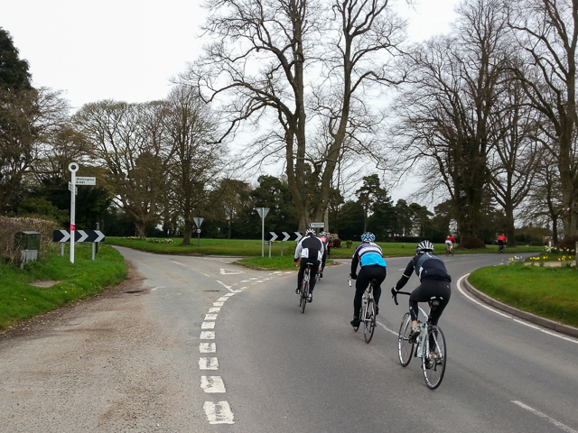
Henley to Pishill is very popular with cyclists on expensive lightweight bikes, even if not all the riders are lightweight.
The wind tends to funnel along the Assendon Valley, so this is a good route when the wind is from between west and north. At other times a more sheltered alternative would be to follow part of The Barn at Turville Heath route for the section between Cookley Green and Lower Assendon.
If following this route in the opposite direction, stay on Greys Road for all the descent into Henley, then turn left to follow the one-way Duke Street and Bell Street through the town centre.
The Moretons
Out towards Wittenham Clumps via South and North Moreton and back via Wallingford.
Highlights
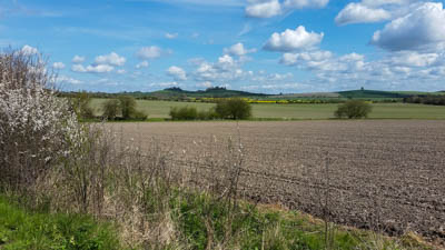
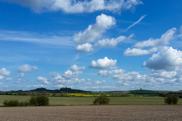
Extensive views from the top of Cholsey Hill and towards Wittenham Clumps.
The historic market town of Wallingford.
Hazards
Busy traffic when crossing the A4130 and the A4074 (both twice).
Sharp bend left at the bottom of Cholsey Hill.
The first three miles out of Streatley are along the A329. Although this is an A road, it has a weight restriction that means heavy vehicles cannot use it.
Hospitality
Norah’s Kitchen at The Bach Centre (limited hours) in Brightwell-cum-Sotwell and at Root One Garden Centre (just off route on the A4130 north of Brightwell-cum-Sotwell).
Pubs in Cholsey, North Moreton and Brightwell-cum-Sotwell.
Lots of choice in Wallingford.
Hints
For a longer ride (33 miles) in the same general direction, see Tour des Clumps.
The yew tree in South Moreton churchyard is one of the oldest trees in Oxfordshire and has been certified to be at least 1600 years old. St John the Baptist church is a couple of hundred yards south of the High Street down Church Lane. The church itself was originally built in Saxon times as a chapel for pilgrims crossing the Berkshire Downs on pilgrimage to the shrine of St Birinius at Dorchester Abbey.
The long straight on the road north of North Moreton is part of the Roman road connecting Silchester and Dorchester-on-Thames.
Tour des Clumps
A circumnavigation of Wittenham Clumps, known more formally as the Sinodun Hills and less formally as Mother Dunch’s Baps.
Circular route from Goring to Little Wittenham and Dorchester, returning via Ewelme.
Highlights
Lots of wide open views from the foothills of the Chilterns across the Thame and Thames valleys. The landmark Wittenham Clumps are visible for most of the ride – a challenge at the start of the ride to know you have to go around the far side of them, a feeling of satisfaction at the end to look back on what you’ve done.
Hazards
This route uses a couple of A roads, but for relatively short stretches that are less-trafficked and have speed restrictions.
Hospitality
The Wandering Kitchen cafe at Oxford Wet’n’Wild Water Park near Berinsfield. The Snug cafe at Bishop’s Court Farm is just off-route in Dorchester. Village shop in Ewelme. Clifton Hampden also has a village shop and a riverside pub.
Hints
Parts of this route are quite exposed to the wind, in particular the old Roman road heading north from South Moreton and the stretch heading north-east from Berinsfield towards Stadhampton.
It’s possible to take a short cut from Little Wittenham to Dorchester on a bridleway across the fields. Not recommended for bikes with super-skinny tyres.
Tour of the Pang

A circular tour into the North Wessex Downs, following the beautiful Pang Valley
After a stiff climb out of the Thames Valley, one third of the route is gently downhill, following the river through the pastoral scenes of the Pang Valley.
Highlights
Views over the Upper Pang Valley.
Friendly staff, great cakes and coffee at the Hampstead Norreys Community Shop
Bucklebury Ford, immediately adjacent to the route.
Hazards
Traffic on the A329 for a mile each way outside Streatley.
Hospitality
The Community Shop in Hampstead Norreys, 9.5 miles into the ride.
Pubs at Four Points (6.5 miles) and Hampstead Norreys.
Pubs, cafes and shops in Streatley and Goring.
Hints
An ideal route to take when there’s a west or north-west wind.
Wantage and the Vale of White Horse
Climbing out of the Thames Valley through the Berkshire Downs, followed by a swooping descent to Wantage and a return along the flatter roads of the Vale of White Horse.
Highlights
The views of the Vale of White Horse as you cross the ancient Ridgeway.
The swooping three-part descent to Wantage.
Hazards
The last part of the descent into Wantage narrows as you pass the 30 mph sign. Keeping below the speed limit here is strongly advised.
The route takes the A417 between West Challow and the right turn to Denchworth.
Fast traffic and limited visibility at the A4130 crossing east of Didcot.
Hospitality
The Saddleback Farm Shop, one-third of the way around the ride.
Lots of choice in Wantage.
Hints
The route into Wantage follows two linking cul-de-sacs: Eagles Close and Post Office Lane. Eagles Close is a slight right-left dogleg at the bottom of the descent from the Downs. As mapped the route does half a lap of the market place in Wantage, to access the shops and cafes. This could be omitted by turning left at the end of Post Office Lane then immediately right into Church Street.
A great route to take when there’s a westerly wind, as the outward half is relatively sheltered. Your payback is on the gently-sloping open roads of the Vale.
Yattendon
Classic cafe ride, with the coffee stop two-thirds of the way through the ride.
An “asymmetric” (16 miles out, 7 miles back) cafe ride into the Berkshire beech woods.
Highlights
Gentle downhill on Hook End Lane during return journey.
Gradual climb out of the Pang Valley, with the café at the top.
Hazards
Steep descents and sharp corners at Path Hill, after 6.5 – 7 miles,
Busy traffic in Pangbourne.
Hospitality
Lots of choice in Pangbourne.
The Pantry cafe in Yattendon.
Hints
This route can be mixed and matched with the Tour of the Pang to give a longer or shorter ride.
A good route for when the weather is uncertain, with a short return and a following wind if it’s south-westerly.
Bramley
An excursion south into Hampshire
A mostly quiet route along bridleways, farm roads and country lanes to a coffee stop in Bramley, returning via the Pang Valley.
Highlights
Quiet roads and gentle countryside.
Hazards
Short stretches along busier roads in Pangbourne and Theale.
Two crossings of the A4.
Hospitality
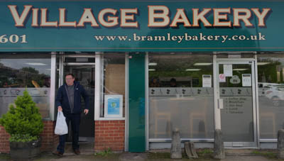
Bramley Bakery (and coffee shop).
The Blackbird cafe at Chapel Row.
Hints
Bramley Bakery is adjacent to the railway station, from where there is a frequent service to Reading.
Sherfield-on-Loddon
Up the gentle Loddon valley to Sherfield-on-Loddon
A relatively flat ride along quiet lanes in the Loddon Valley
Highlights
Quiet roads and gentle countryside.
Hazards
Short stretches along busier roads in Pangbourne and Theale.
Two crossings of the A4.
Hospitality
The Coffee Shop in Sherfield-on-Loddon
The Blackbird cafe at Chapel Row.
Molly’s Village Cafe at Woolhampton.
Hints
The route passes close to Stratfield Saye, home to the Dukes of Wellington since 1817.
The return route passes close to Bramley railway station, from where there is a frequent service to Reading.
Mongewell Woods and Witheridge Hill
A variety of bridleways above the Chiltern escarpment
A big climb through the Mongewell Woods is followed by a mix of farmland and woodland before another more gradual climb to Woodcote and a final descent back to the Thames Valley.
Highlights
Views back to the Ridgeway and Berkshire Downs on the initial climb and forward on the final descent.
Hazards
Bare chalk in the Mongewell Woods section can be very slippery after rain.
Hospitality
The Rising Sun pub at Witheridge Hill at the half-way point of the ride, a short (1/4 mile) there-and-back detour off the through route.
Hints
This ride is significantly more strenuous those categorised as Pub Rides – but it does go to a pub!