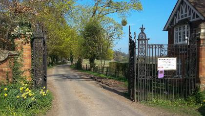
Goring – Hungerford via Combe Gibbet
Across Berkshire to the highest point in southeast England
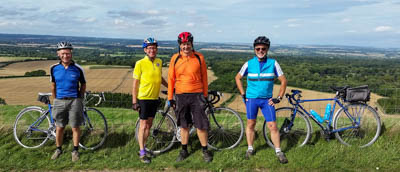
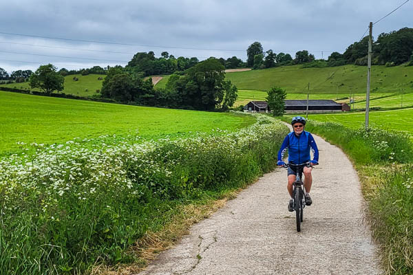
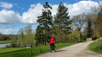
A ride across Berkshire to its highest point. At 297 m, Walbury Hill is just 3m higher than Leith Hill in Surrey. The road summit on this ride is at 263 m, on the saddle between Walbury Hill and Combe Gibbet, from where there are extensive views northwards across West Berkshire to the The Ridgeway.
This route ends at Hungerford, from where it is possible to return to Goring by train, or by following the Hungerford to Goring via the Boxford Alps route.
Highlights
A gentle, winding descent down the delightful Bagnor Valley.
The view from Walbury Hill.
Hazards
In the interests of directness, this route climbs straight up Streatley Hill, which has a gradient of 15% and can be quite busy. A quieter alternative is to follow the first part of the Tour of the Pang route to Aldworth.
Hospitality
Hampstead Norreys Community Shop after 6.5 miles
Pubs in Chieveley (11.5 miles) and Bagnor (16 miles)
The Tutti Pole and other cafés in Hungerford
Hints
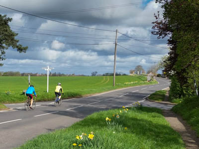
Combe Gibbet was originally erected in 1676 and used only once, for George Broomham and Dorothy Newman, lovers who had murdered Broomham’s wife and son.
Hungerford – Goring via the Boxford Alps
An “undulating” direct route from the Kennet to Thames, via the valleys of the Lambourn, Winterbourne and Pang.
The Boxford Alps are a succession of three relatively short climbs where the route takes a cut across the Downs between the Lambourn and Winterbourne valleys. Probably so named by Reading cyclists, they feature frequently in sportives and Audax rides. Although not that high (a total of 250 ft of climbing for the three), they feel like Alps for riders in the latter stages of a long challenge ride.
Highlights
The feeling of accomplishment when freewheeling down Hook End Lane on the final descent towards Streatley.
Hazards
Crossing the A4, which has fast traffic, with an uphill approach for the cyclist.
Hospitality
The Pantry café in Yattendon at 17.8 miles.
Pubs in Hermitage (14.5 miles) and Yattendon.
Hints
This route can be paired with Goring – Hungerford via Combe Gibbet to give a round trip of 55 miles. Alternatively the train could be used on way – but check GWR’s current cycling policy. The route could also be used as the basis for a two-day trip, staying overnight in the beautiful Upper Kennet Valley to the west of Hungerford.
Goring – Reading via Caversham Golf Course
Alternative “quiet road” route from Goring to Reading
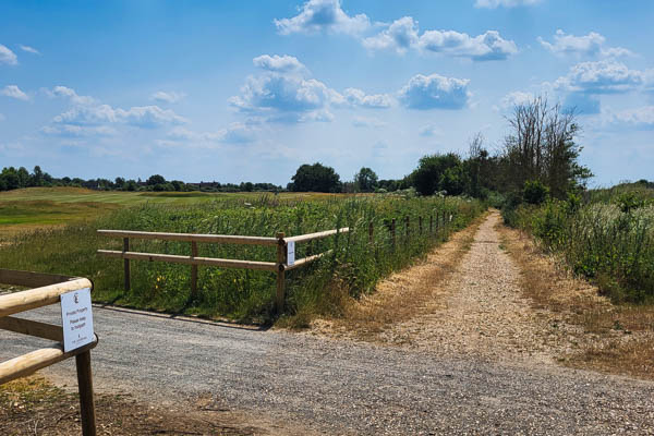
This route avoids the busy A4074 road by taking the parallel bridleway across Caversham Heath Golf Course. The surface is generally good, except after heavy rain, making it suitable for regular commuting.
Curiously the Caversham Heath Golf Course is on the Mapledurham side of the A4074, whereas The Club at Mapledurham golf course is on the Caversham side…
Goring – Reading Road Commute
Standard on-road commuting route from Goring-on-Thames to the centre of Reading.
The recommended route for cycle commuting from Goring to Reading. About 45 min by bike compared to 30 min by car (on a good day) – what’s not to like? The train is faster, but overall train journey time will depend on amount of walking to/from stations.
Highlights
Feeling smug when passing lots of stationary commuters in cars, while getting fit and saving money.
Hazards
Busy traffic on the A4074 into Reading, particularly around the traffic lights at the bottom of St Peter’s Hill in Caversham. This route takes some back streets to avoid the worst.
Hospitality
Not strictly relevant for commuting! For leisure riders, the route passes the Pack Saddle pub after 7miles.
Hints
When using this route in the reverse direction, it’s possible to take the towpath on the left side of the river to just beyond Caversham Bridge in order to cross under the busy road at this point.
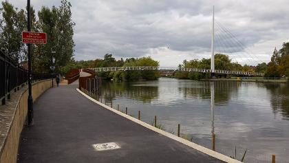
Goring – Reading along the river
An easy, mainly off-road route, suitable for commuting
Of the 9.2 miles between Goring and Reading stations, less than 1.5 miles are on through roads. The rest is on an interesting mix of quiet cul de sacs and bridleways.
Highlights
View of the River Thames from a number of different angles.
Hazards
Steep steps on the bridleway near Coombe Park outside Whitchurch.
Staggered crossing of the narrow B471 in Whitchurch, with limited visibility.
Busy traffic between St Peters Church and Caversham Bridge in Reading
Hospitality
Lots of choice in both Goring and Reading. Nothing en route in between.
Hints
This route can be combined with one or more of the other Goring – Reading routes for an off-road leisure ride.
If it’s not muddy this route is very suitable for hybrid or touring bikes.
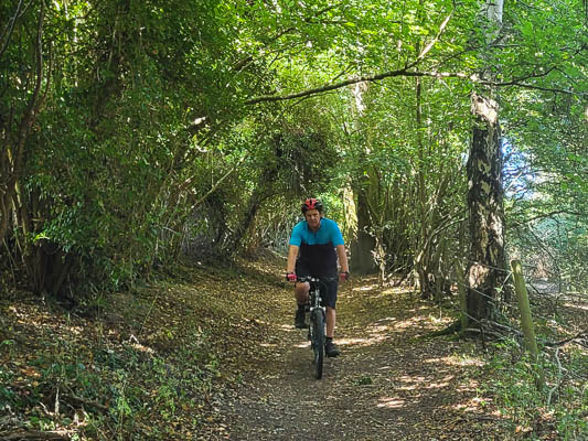
Goring – Reading via Collins End
A mainly off-road route from Goring to Reading
Highlights
Classic Chiltern woodlands and a dry valley
Hazards
Descent with loose surface from Collins End after 5.8 miles.
Busy traffic in Lower Caversham
Hospitality
The Sun at Whitchurch Hill pub after 4.3 miles.
Lots in Reading and Goring.
Hints
Lovely bluebells in the woods in late April/early May.
From Mapledurham (after 7 miles) it is possible to return to Goring following part of the Goring-Reading along the River route (in reverse) to give a round trip of around 12 miles.
Goring – Reading via Kidmore End
An alternative road commuting road to Reading, using quiet lanes.
Highlights
Probably the quietest on-road route from Goring to Reading, frequently used by cycling commuters. 2½ miles longer than Goring – Reading Road Commute, but with easier hills.
Hazards
Busy traffic on the A4074 into Reading, particularly around the traffic lights in Caversham.
Hospitality
Shops and pubs in Woodcote.
Pub just off-route in Kidmore End 200 yd SE of the church.
Hints
Part of this route follows Sustrans Route 5. It leaves the Sustrans route in Kidmore End, as the Caversham section of Route 5 is unsuitable for commuting, with a steep flight of steps and a rough off-road section.
Goring – Wallingford via B4009
The straightforward way to get to Wallingford
The shortest and most direct route to the historic market town of Wallingford, along the east side of the River Thames.
Highlights
Wallingford, one of the best-preserved Saxon market towns in the country.
Hazards
Crossing the A4074 at its junction with the Wallingford bypass. Immediately after the roundabout at Mongewell at 4.8 miles, take the tarmac path on the left which passes onto the old course of the A4074. Now heavily-overgrown and hardly recognisable as a former A road, it’s a quiet shortcut towards Wallingford.
Hospitality
South Stoke has both a village shop and a pub. Both are a short distance off-route after 1.7 miles.
Lots of choice in both Goring and Wallingford.
Hints
The second half of The Moretons route gives an alternative route from Wallingford to Goring via Ipsden, with quieter roads but more climbing.
Goring – Portsmouth
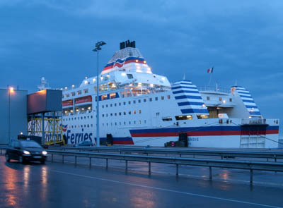
Direct cycling route from Goring to Portsmouth for ferry to France, Spain, the Channel Islands or the Isle of Wight.
The first leg of a continental or even around the world tour, or a challenging one-way day ride in its own right.
Highlights
Beautfiful back roads through the Hampshire countryside.
The feeling of accomplishment on reaching the top of Portsdown Hill, to be rewarded by the view of Porstmouth Harbour and the Isle of Wight.
Hazards
The usual: main road crossings and loose gravel on corners at the bottom of descents.
The shared pedestrian and cycle route past the schools in Portchester can be very busy at school times, and taking the road could be safer as well as quicker.
Hospitality
The most obvious stopping points en route are Kingsclere (21 miles), which has a good café, and Alresford (41 miles), which has several.
Hints
This route has been classified as hard because of the distance, the amount of climbing encountered and the likelihood of extra weight due to touring kit. It would be possible to make it a two-day ride, for example by stopping at Alresford (41 miles).
See Ferries from Portsmouth for details of overseas destinations and the companies serving them.
The route uses the old Meon Valley railway trail from Meonstoke (51.2 miles) to Wickham. The surface is fine in dry weather, but in wet weather it may be better to use nearby tarmac lanes.
After passing through Portchester it is advisable to stay on the north side of Southampton Road, and resist the temptation to cross over to cycle next to the water. The cycle route on the south side ends abruptly 400 m further on at a busy road junction with the M27 spur.
Goring – Wallingford Off-road
Mainly off-road and traffic-free route to or from Wallingford.
Along the east side of the River Thames to the historic market town of Wallingford. Most of the route is bridleway, passing beneath the busy Wallingford bypass via a subway.
Highlights
Wallingford, one of the best-preserved Saxon market towns in the country.
Hazards
The path along the river from South Stoke to Little Stoke is footpath, not bridleway, so is not legal for cycling. The route runs along the B4009 for about a mile along this stretch.
If travelling in the Wallingford-Goring direction, take care at the right turn off the B4009 at South Stoke crossroads.
Hospitality
Perch and Pike pub in South Stoke.
Village shop in South Stoke (just off-route, but signposted).
Lots of choice in Goring and Wallingford.
Hints
For those travelling by train, this route uses the “back entrance” of Goring & Streatley station to avoid the busy junction at the top of the High Street. There are lifts available to access the platforms.
The bridleway section from Newnham Farm to Wallingford Bridge is narrow, bumpy and can be muddy or overgrown. An easy alternative is 400 m further east, on the disused old A road into Crowmarsh Gifford, which has a tarmac surface.
Goring – Henley off-road
The “direct way” to Henley-on-Thames, following the ancient packhorse route
Highlights
Following a 13th Century packhorse route through the Chiltern Hills. No robbers these days (we hope), just hills of hazardous ascent and dense woods, interlinked by Oxfordshire’s bad roads.
Hazards
Parts of the route are quite steep, with a loose/rocky surface, making it more suited to mountain bikes rather than hybrids.
Fast traffic at the crossing of the A4074
Hospitality
The Sun at Whitchurch Hill (3 miles). The Red Lion, Rotherfield Peppard (8.1 miles)
Lots of choice in Henley
Hints
An alternative to the climb up the old packhorse road from Hartslock is to stay on the lane up the hill to Upper Gatehampton Farm. This is just as steep, but tarmac and much easier to ride.
Dog Lane east of Peppard Common can be very muddy after wet weather.
Pack and Prime Lane (the bridleway from Rotherfield Greys to Henley) is said to be where the London to Oxford stagecoaches would stop to pack and prime their guns before they took on “hills of hazardous ascent, bad roads and dense woods full of robbers” (according to a quotation in The Story of Henley by Geoffrey Hollingworth)
The route terminates at Henley railway station. The journey back to Goring by train takes about an hour, changing at Twyford. There are normally no bike restrictions on these services. For a return by road, see the Hambleden Valley or Assendon Valley routes.